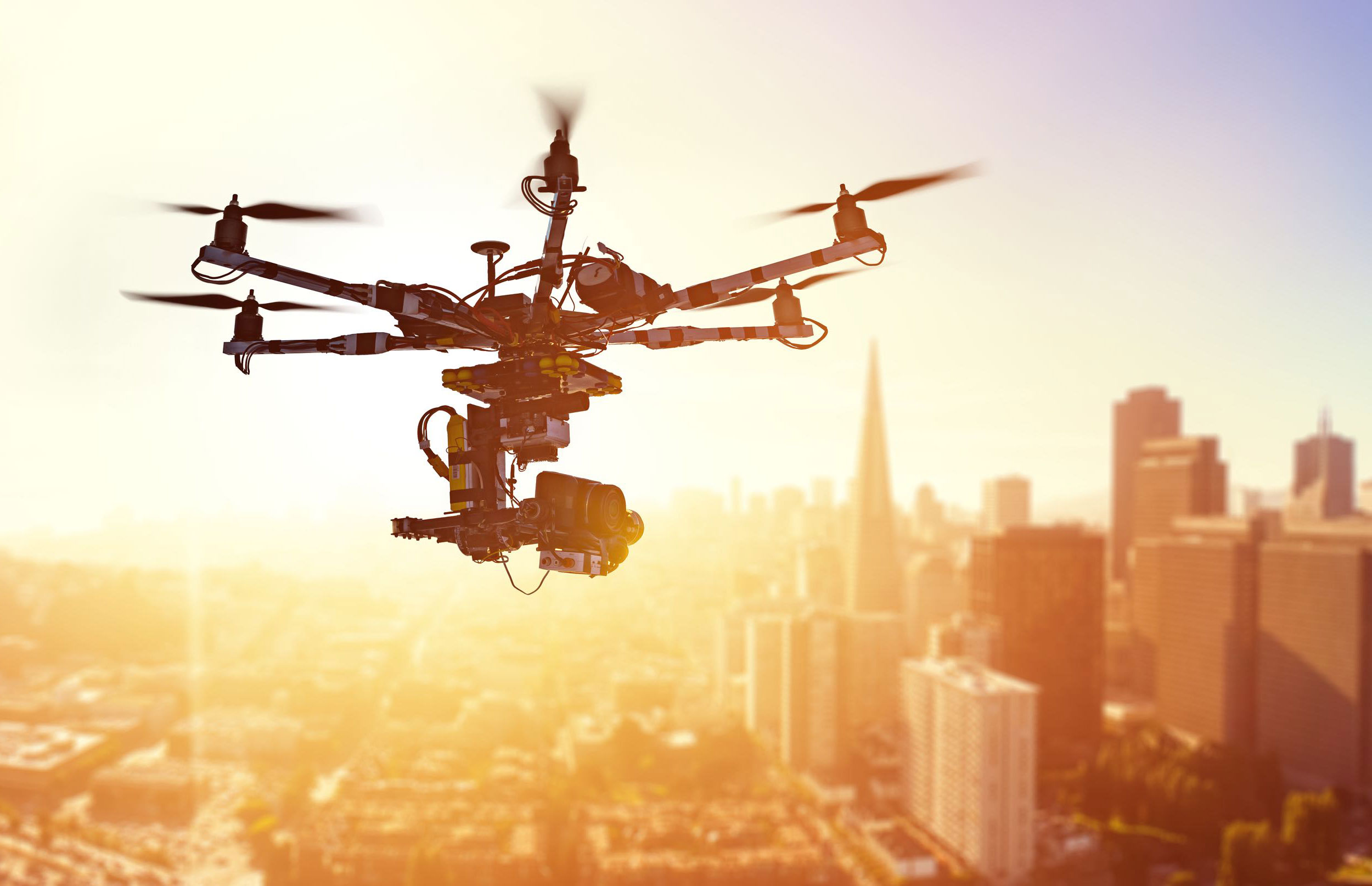
Fast, Professional Aerial Imaging Solutions
At Next Day Drone, we provide industry-grade drone services tailored to meet the unique needs of businesses and organizations across a wide range of industries. Whether you’re looking to capture stunning aerial visuals, inspect infrastructure, or gather critical data, our expert drone pilots are ready to deliver—fast.
Our drone services
Our Core Drone Services
Aerial Photography & Videography
Showcase your property, project, or event with high-quality aerial photos and cinematic video footage. Perfect for real estate, marketing campaigns, and promotional content.
Agriculture & Land Surveying
Our drones collect valuable crop data, elevation maps, and field insights to support efficient farm management, planning, and yield optimization.
Construction Progress Monitoring
Track your job site from above with regularly scheduled drone flights. Gain real-time insights, ensure compliance, and improve communication with stakeholders.
Thermal Imaging
Detect heat loss, insulation gaps, or equipment failure using our thermal drone imaging solutions. Ideal for energy audits, solar panel diagnostics, and emergency services.
Infrastructure Inspection
Reduce risk and cost by using drones for detailed inspections of roofs, towers, bridges, solar panels, and more. Get high-resolution imagery without putting workers in harm’s way.
Custom Drone Missions
Have a unique project? We’ll work with you to create a custom flight plan tailored to your specific goals and deliverables.
Why Choose Next Day Drone?
-
End to End Support
From planning to post-production, we handle every step.
-
Reliable Communication
Clear, consistent updates throughout your project.
-
Proven Experience
Trusted by professionals across industries nationwide.
-
Scalable Capabilities
From single-site shoots to multi-location operations, we scale with your needs.
Industries We Serve
We work across a wide range of industries that rely on fast, accurate aerial data and imagery to operate smarter, safer, and more efficiently.
Real Estate
Highlight property listings with breathtaking aerial photos and videos that elevate your marketing.
Construction
Monitor site progress, document compliance, and communicate with stakeholders from above.
Agriculture
Use aerial mapping and crop analysis to maximize efficiency and increase yield.
Energy
Conduct remote inspections of solar panels, wind turbines, and infrastructure with high precision.
Insurance
Expedite claims and improve risk assessments with high-resolution aerial imagery.
Public Safety
Support emergency response, search and rescue, and disaster assessment with rapid aerial views.
Ready for Lift-Off?
Get high-quality drone data and visuals with zero hassle. Our streamlined process and professional team make it easy to get the aerial support you need—on time, every time.